
VR Reality Capture
Immersive, accurate to the millimeter and flexible
Digital twins of buildings, exteriors, facilities and other walkable objects are versatile. They form the basis for building management, Industry 4.0, smart buildings and smart cities. Digital twins can be used throughout the entire life cycle of a building and are a promising technological concept for achieving important objectives of the European Green Deal. AR Navigation helps to reach the destination for large complex objects.
All levels of management benefit
The digital control and information center
Use digital twins for building and site management, planning, optimization, presentation, maintenance, training or sales. By leveraging past data and extensive real-time surveys, we create a holistic digital image of the property that is constantly updated and evolving. This technology enables a completely new level of transparency and generates extensive knowledge about the building and its operation in the sense of a smart building.

AX Workshop
Extensions
With AX Workshop, you can manage users, models and collaborators and create different views with categorized logins. The numerous extensions such as points of interest, minimap, tile menus, virtual staging and many more turn the digital twin into an interactive and productive digital space. You can also benefit from automatic floor plan generation and have a 3D BIM model created. The AX Workshop guarantees independent further development directly and for the end customer.

Navigator
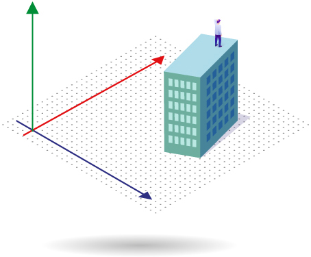
Orientation and navigation in VR Space via minimap or directly live on site with augmented reality.
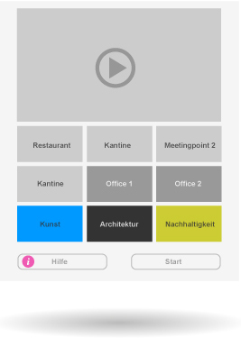
Tile Menu
Overview and visitor guidance. Betten Sie Direktlinks. Bilder, Videos und Musik ein. Accessible anywhere in the Space.

Categorized POIs
Label points of interest with different viewing rights depending on login. Integrate images, videos, audio, iFrames, links and external applications.

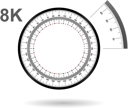
Measurements
Measure to the centimetre. Determine distances and areas and save them directly in Space.
Indoor Staging
Experience enhancement. Place static or moving 3D models in virtual space.

VR/AR
Even more immersive. Visit the virtual room without installing additional software.
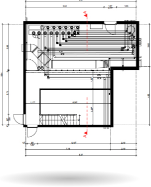
Floor plans
Accurate to the millimetre. Thanks to high-precision scans, you can create floor plans of your property with just a few clicks.
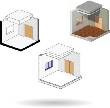
BIM Ready
All in one. Export BIM models with the classification for your needs.
High resolution image files
From any view. Capture detailed images or 360° panoramas.

User Management
Manage access rights. Create different views for different users in the same Space.
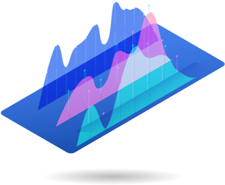
Analysis
On the pulse of what’s happening. Track in real time and traffic.

Google Street View Integration
Implement your showcase natively in Google Street View.